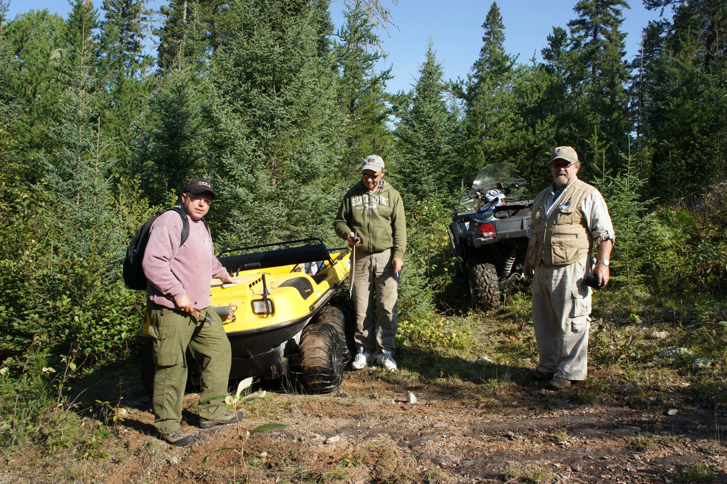
BWR holds a 70% interest in the Santa Maria Project, pursuant to an option and joint venture agreement with New Klondike Exploration Limited. The Santa Maria Project consists of 25 unpatented mining claims (2,560 hectares) located 45 km southeast of Dryden, Ontario. An initial NI 43-101 report has been prepared on this project.
The Santa Maria property includes at least 6 known historical gold occurrences, with gold values ranging from trace to 28 g/t, documented on the property. Visible gold has been documented as being observed in 3 of these zones. The Santa Maria shaft zone was explored by two shallow vertical shafts in the early 1900’s, there is no recorded production. BWR acquired the 70% interest in the project by expending $90,000 prior to May 2012 on an airborne VTEM geophysical survey on the property, fulfilling the earn-in requirement of the option. Three multi-channel VTEM anomalies were encountered in the survey close to the eastern boundary of the project, prompting the staking of five additional claims providing additional land coverage for these anomalies. The five claims were added to the option property bringing the total land package to 24 unpatented claims comprising 2,336 hectares. In August of 2012 one additional claim was staked and added to the property bringing the total land package to 25 unpatented claims comprising the current 2,560 hectares. Follow-up ground geophysics was by BWR, the results of which were filed with the MNDM.
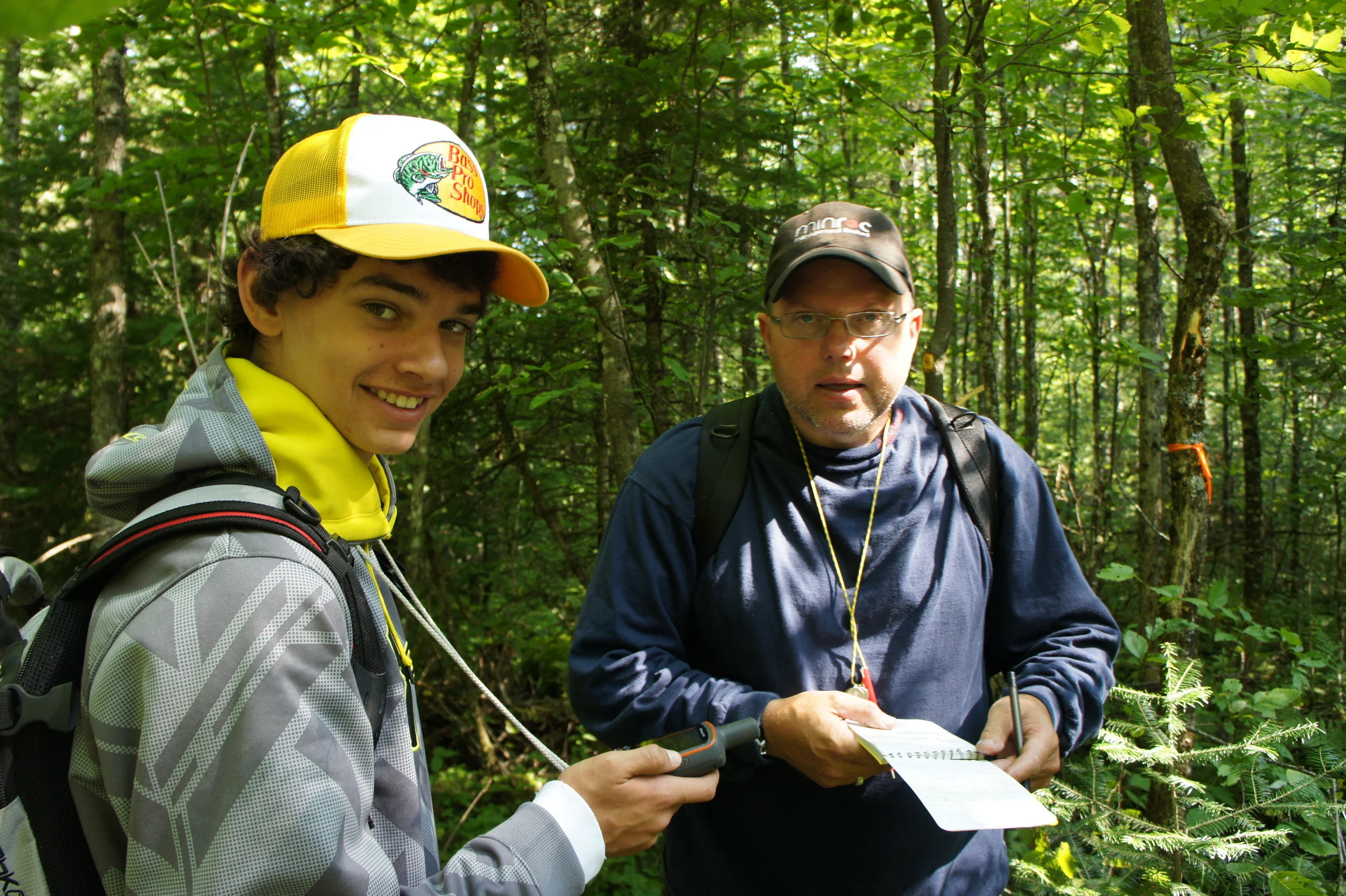
Additional work was undertaken on the property to continue the assessment of the three new VTEM anomalies as identified in the airborne survey. Preparatory line-cutting and a few test lines of Max Min were completed on the property in late 2012 to initially look at the VTEM anomalies. In total, 5.7 kilometres of Max Min surveying was completed, results were inconclusive, deemed to be noisy and likely related to thick overburden, it was recommended to increase the cable length from 100 meters to 150 meters, so as to look deeper for the cause of the VTEM delineated conductive areas. Additional follow-up work was undertaken in October 2013 including site visits to the 6 historical gold occurrences. Three of the six occurrences were located and sampled, the other three sites were not reached due to localized flooding resultant from local beaver population. Additional exploration was planned to include extending the 2012-13 ground survey lines followed by deep penetrating electromagnetics, prospecting, mapping and some diamond drilling (if warranted) in 2014. Planning for this follow-up work to take place in summer 2014, included the submission of an application for an exploration permit that was submitted to the MNDM for approval in the spring of 2014. The exploration plan submission required consultation with the local Indigenous communities. BWR awaited response back from the communities regarding the approval of the exploration plan, since it was initially approved by the Ministry in August of 2014. To maintain the claims, and in lieu of doing exploration work the 25 claims were all geo-referenced thus extending assessment due dates on the claims by one year, this work was completed and approved in the fall of 2014. The exploration plan expired in August 2015, without any response back from the Indigenous communities so BWR along with its joint venture partner (New Klondike) applied for and received an exclusion of time on all claims that had assessment due dates in late 2015. Further exclusions of time were applied for in a timely manner with respect to the remaining claims and were all granted by the Ontario MNDM. The 25 claims that constitute the Santa Maria property remain under an exclusion of time order by MNDM, with no current work planned.